To be fair, May was not the best month for hiking in terms of good weather. I had so many plans yet realized so few (come check my Facebook for more adventures). Thankfully, sunny and warm June is here, which started off with the bonus that May had left behind – plenty of water and lush vegetation. So, if there’s ever the right time to do the Triglav Lakes trail, then it is definitely now. Hear my story.
Exploring Slovenia’s Triglav Lakes treks:
Triglav Lakes – Double Lake
7 Triglav Lakes Trek
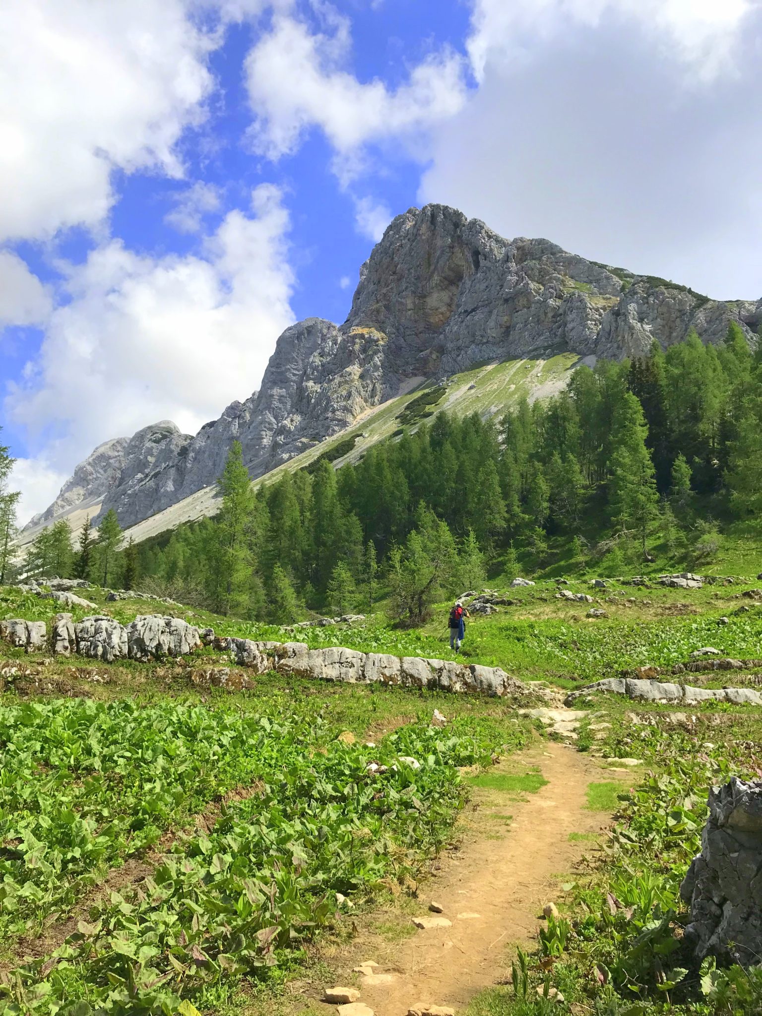
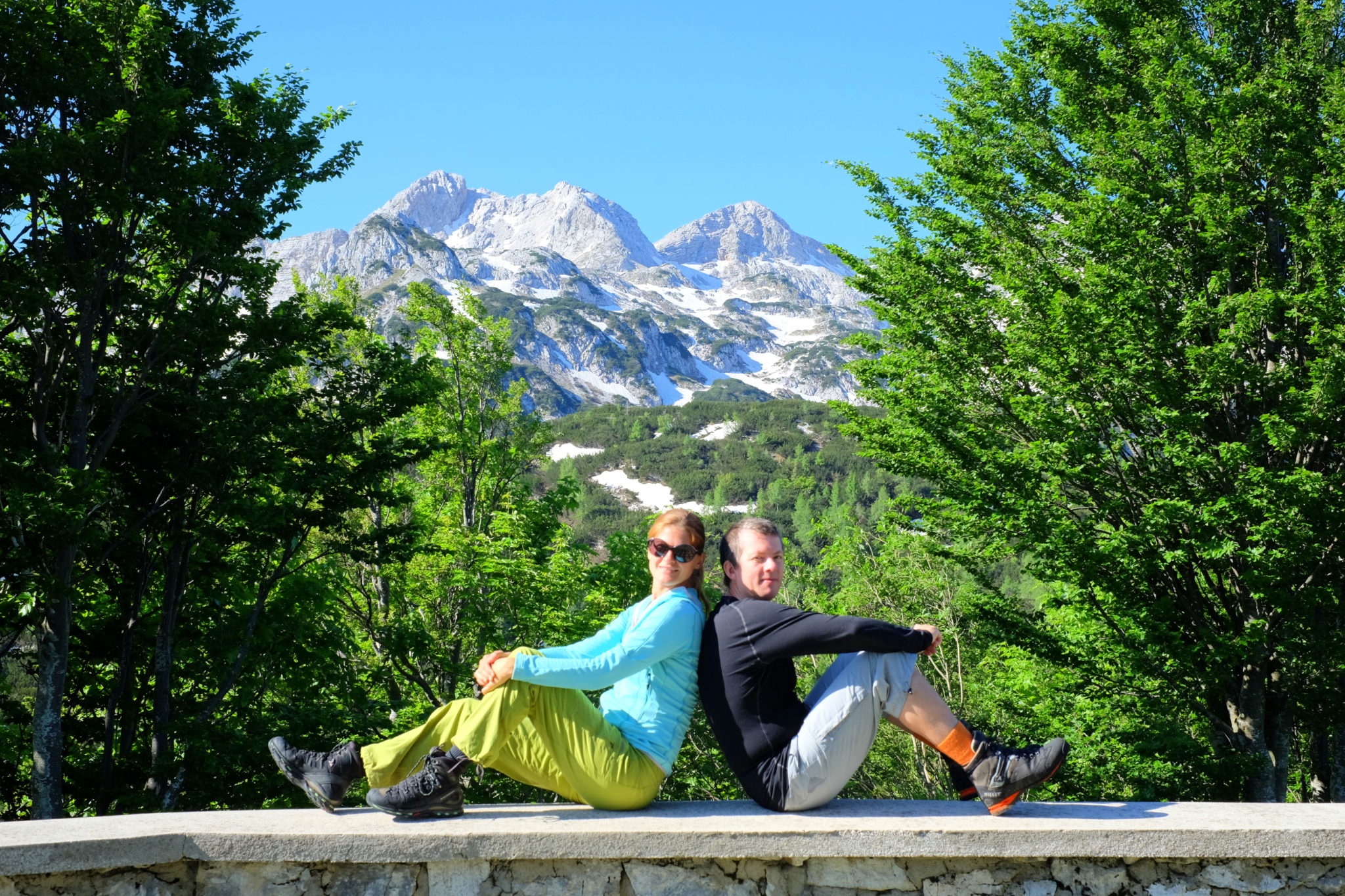
As part of our carefully planned annual tickets to freedom (read: weekends without the kids), my husband and I chose a whole-day trek from Lake Bohinj starting from the Savica Waterfall, crossing the steep slope of Komarča and then off to the lakes towards Prehodavci. We would return back to spend the night in the Komna Hut and then finally head back down to Lake Bohinj the next day. In stats, that basically means walking for 25 kilometers and doing an app. 1,800-m ascent on the first day, and 5.3 km and 867 m descent on the second day. If you throw in two bonus thunderstorms, you’ve got a pretty decent adventure in the mountains like we were headed for! 😀
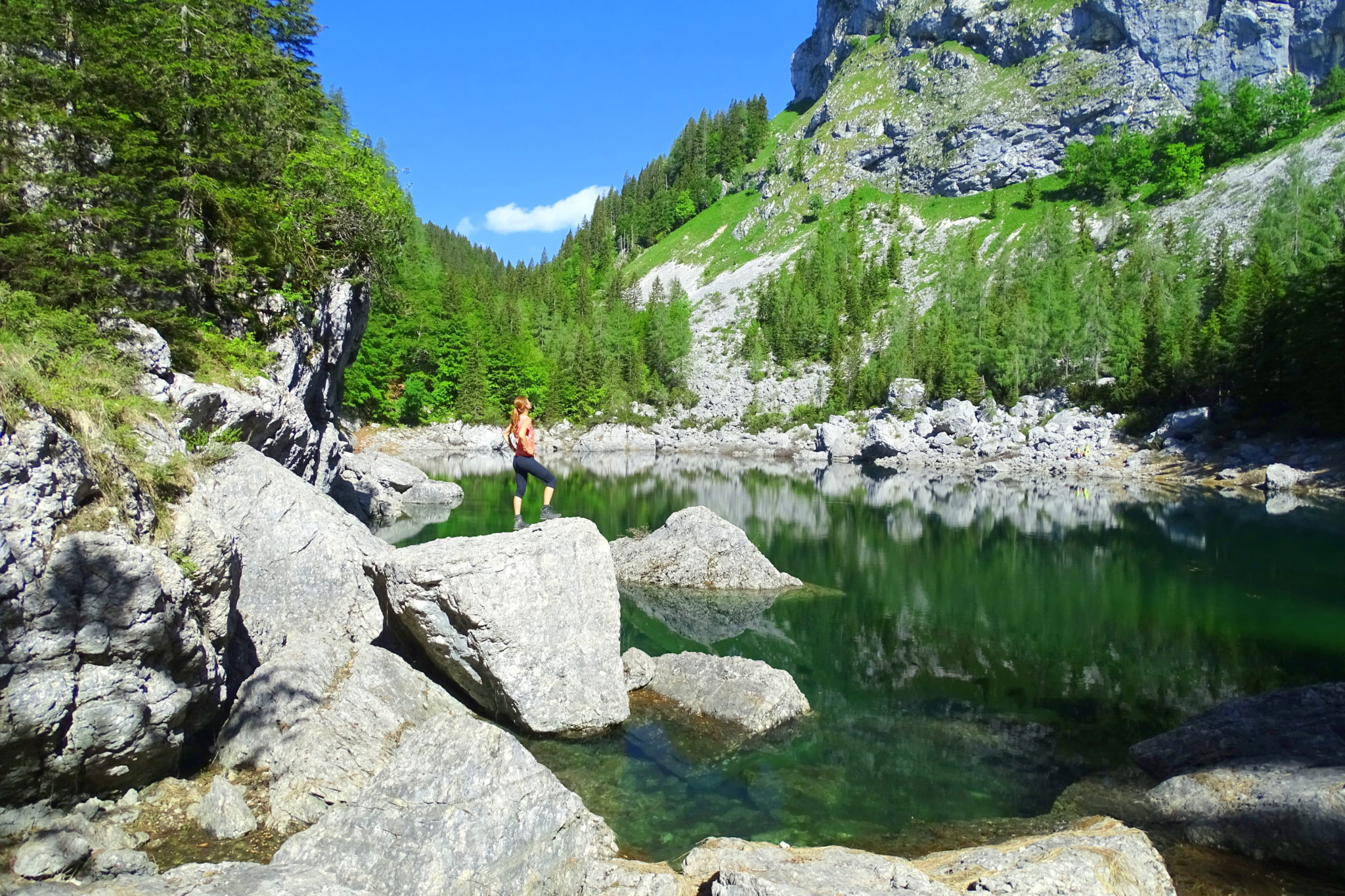
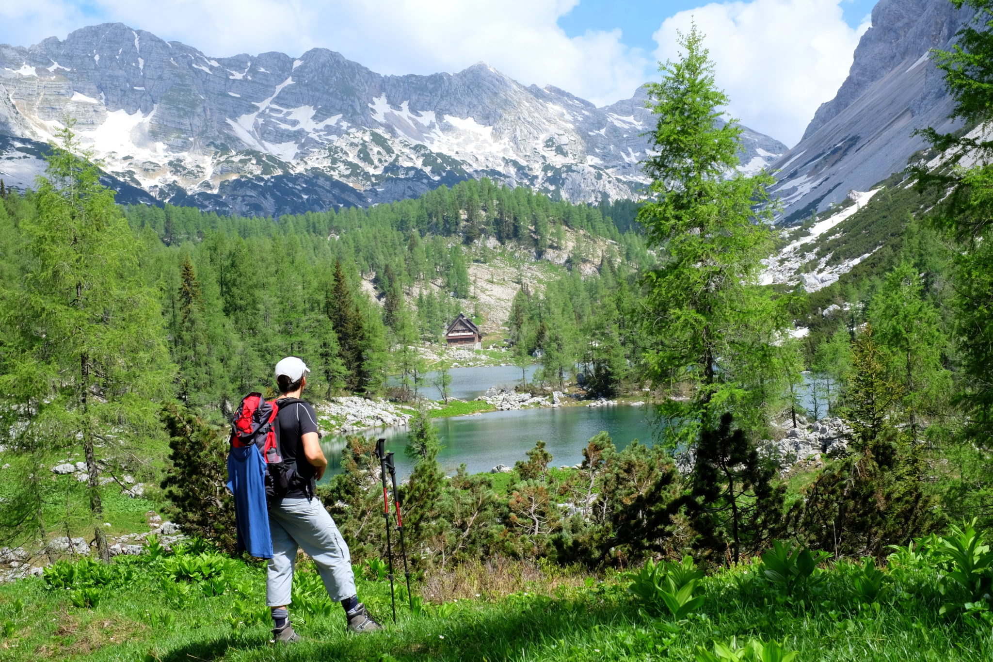
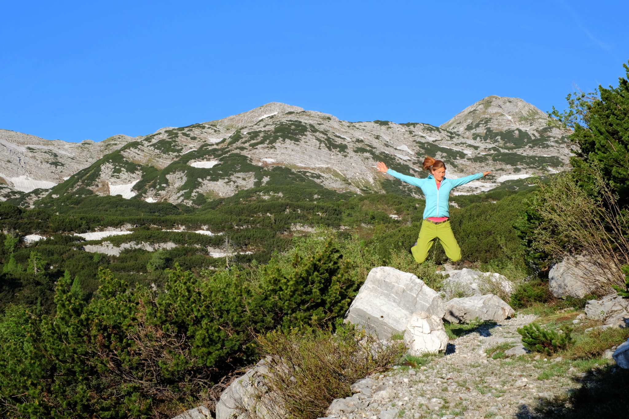
First thing first, our hike began on Saturday by the Savica Waterfall at 8 am where we strapped on super heavy backpacks (damn math and the puzzling riddle of how two dozen things, each weighing a few grams, possibly sum up to twelve kilos!?) and followed the signs for the first lake that day, the Black Lake (Slo. Črno jezero). If you decide to follow our steps, make sure you start an hour earlier to avoid the heat. That said, we exited the south-facing Komarča wall completely sweaty, so our first stop by the Black Lake fifteen minutes later was spent drying our T-shirts and backpacks in the sun beside the lake. No complaints though.
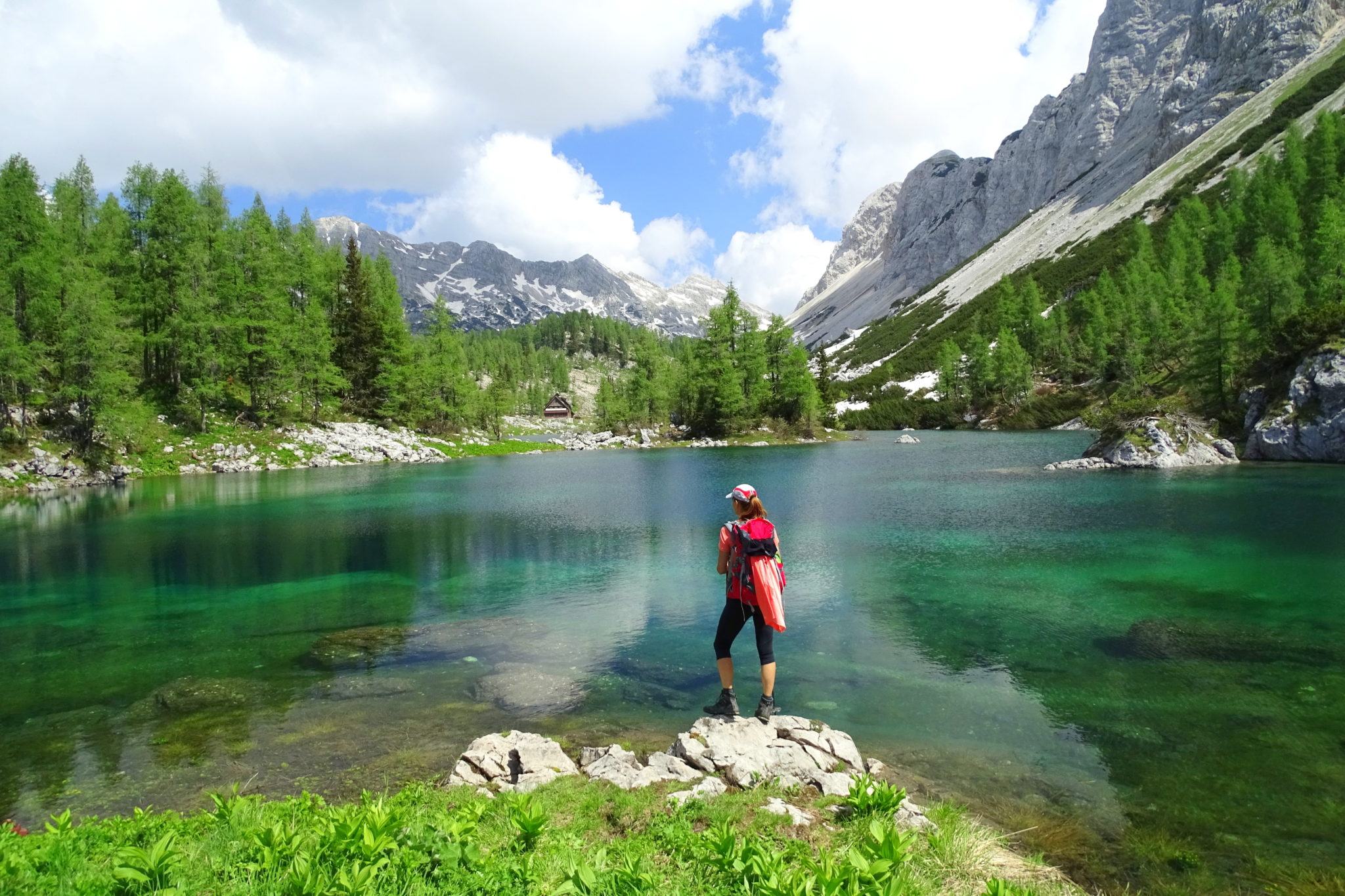

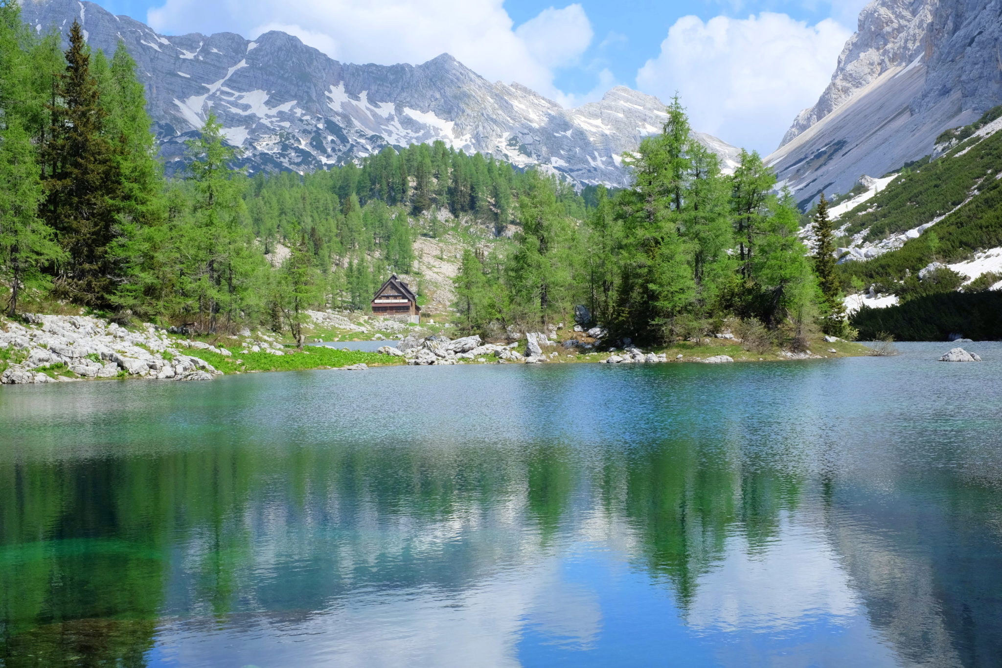
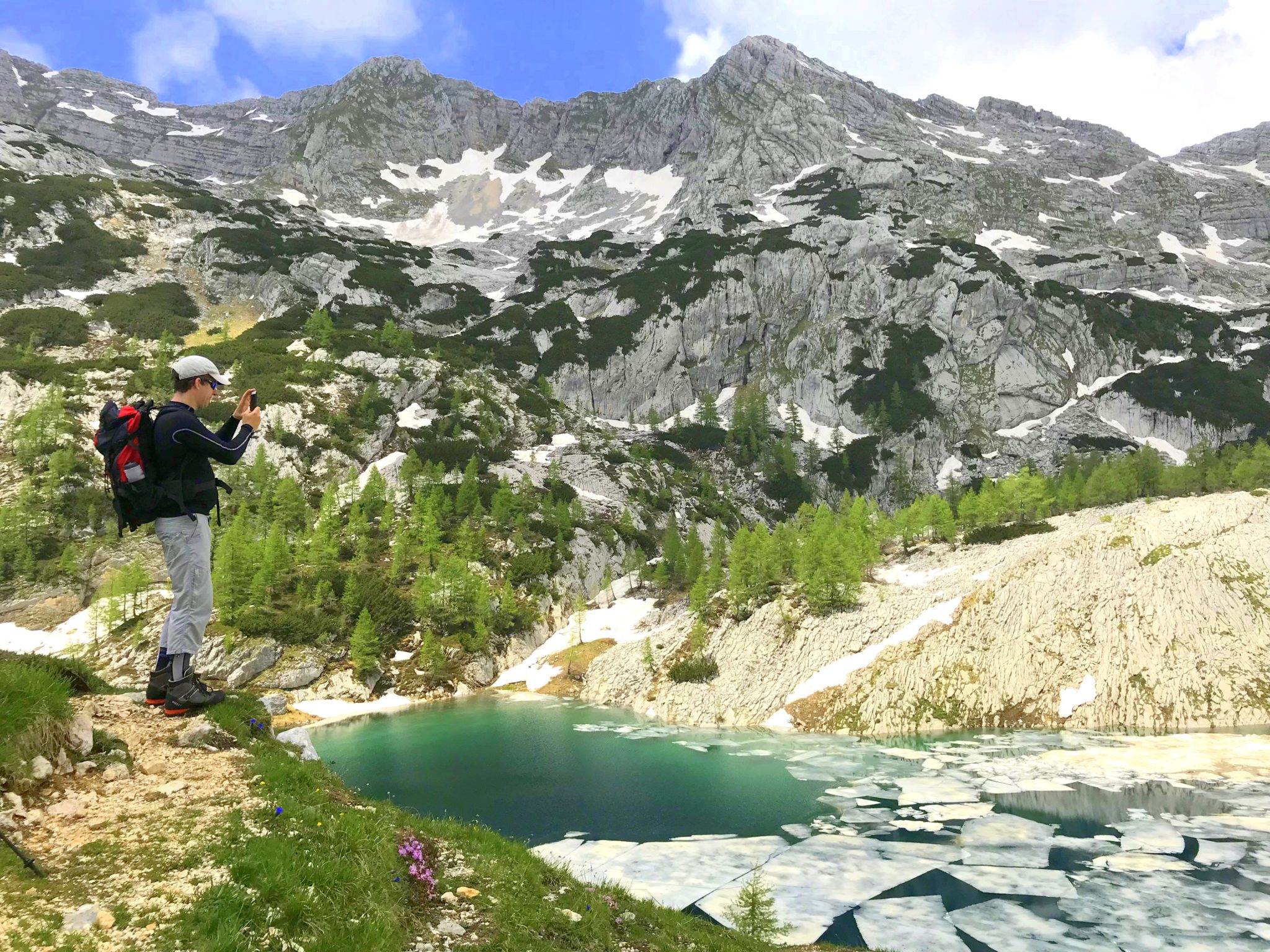
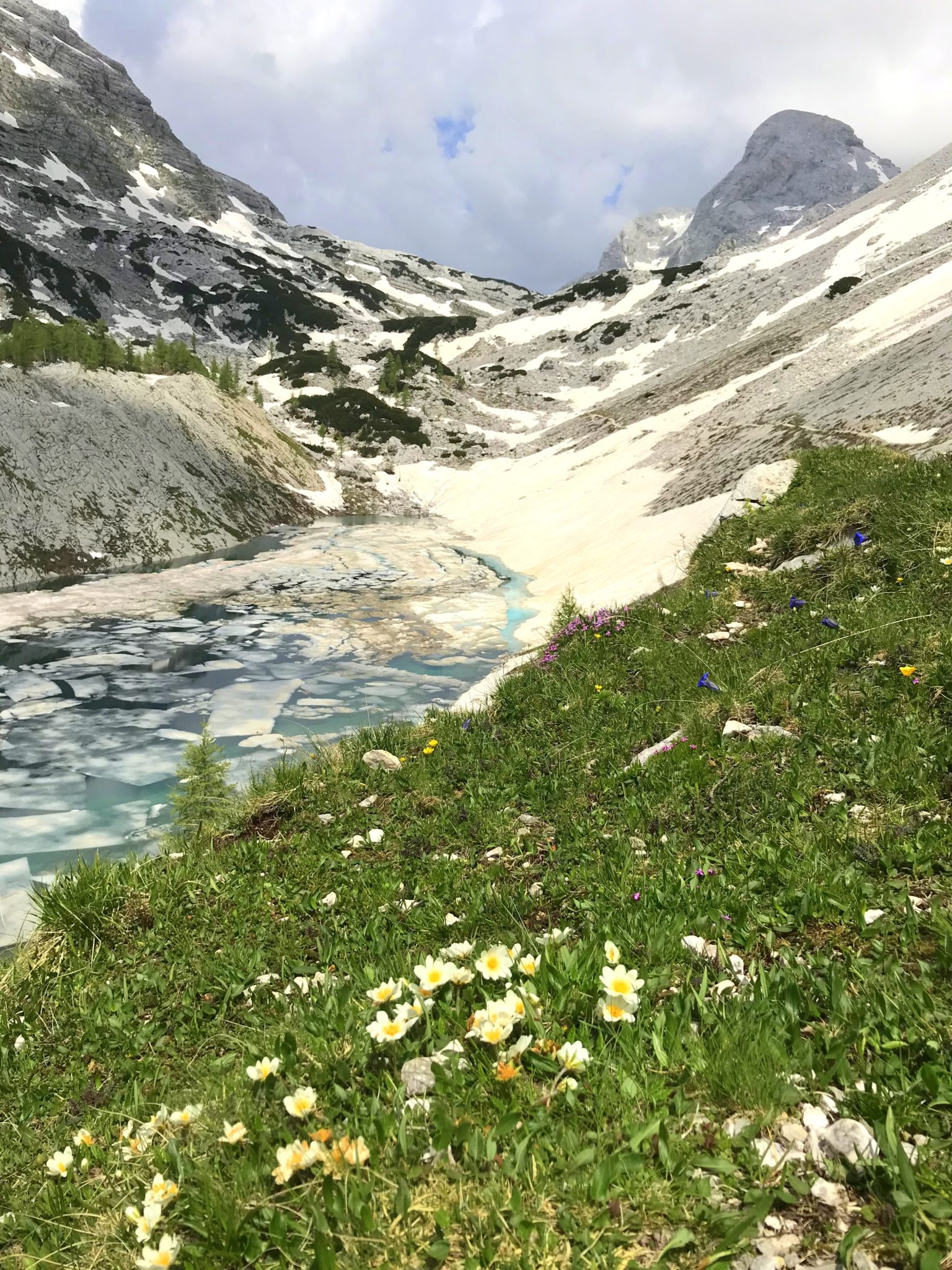
Then we were off to traverse the remarkable kingdom of high-mountain lakes underneath towering steep walls that lies between Lake Bohinj and Trenta Valley. The next lakes in line? The Double Lake or two magnificent interconnected lakes, colored somewhere between intense and emerald green.
Exploring Slovenia’s Triglav Lakes treks:
Triglav Lakes – Double Lake
7 Triglav Lakes Trek
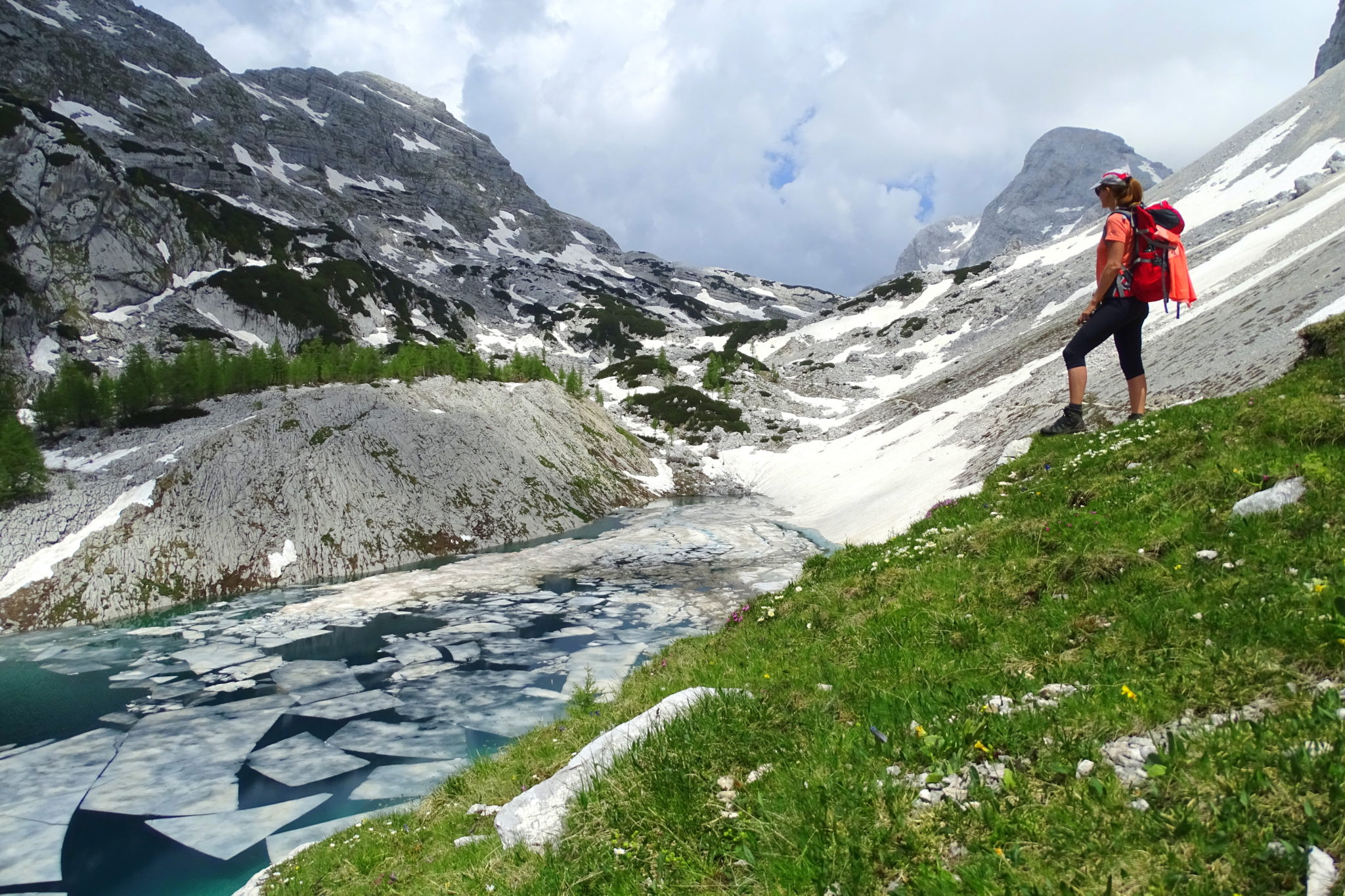
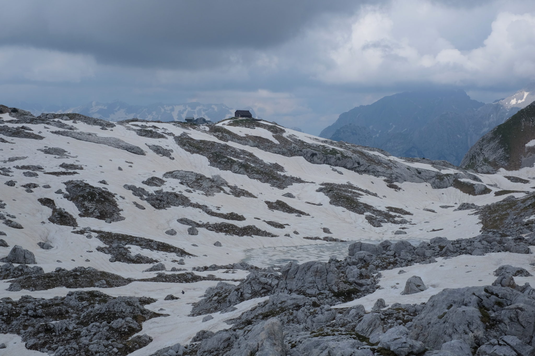
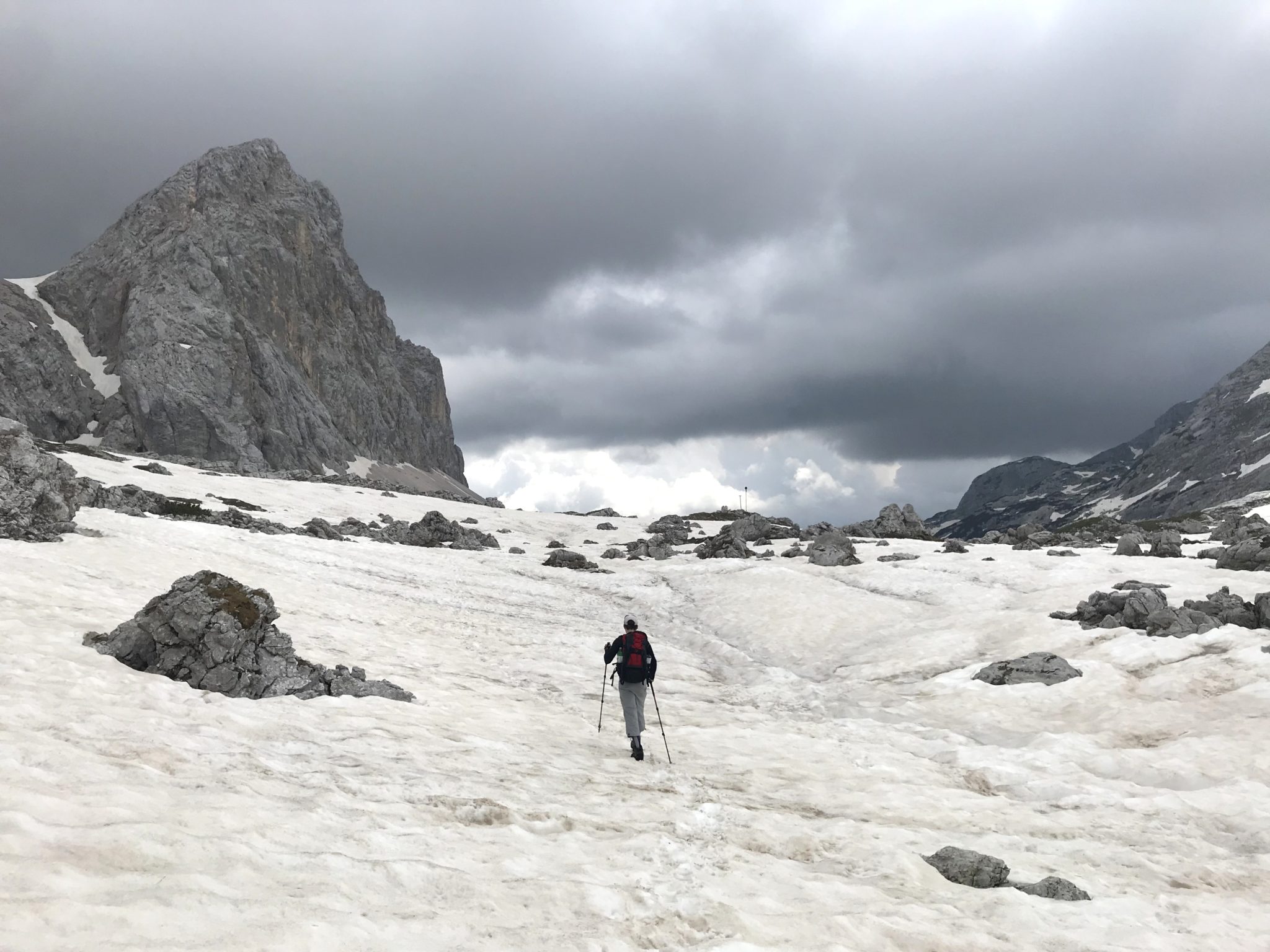
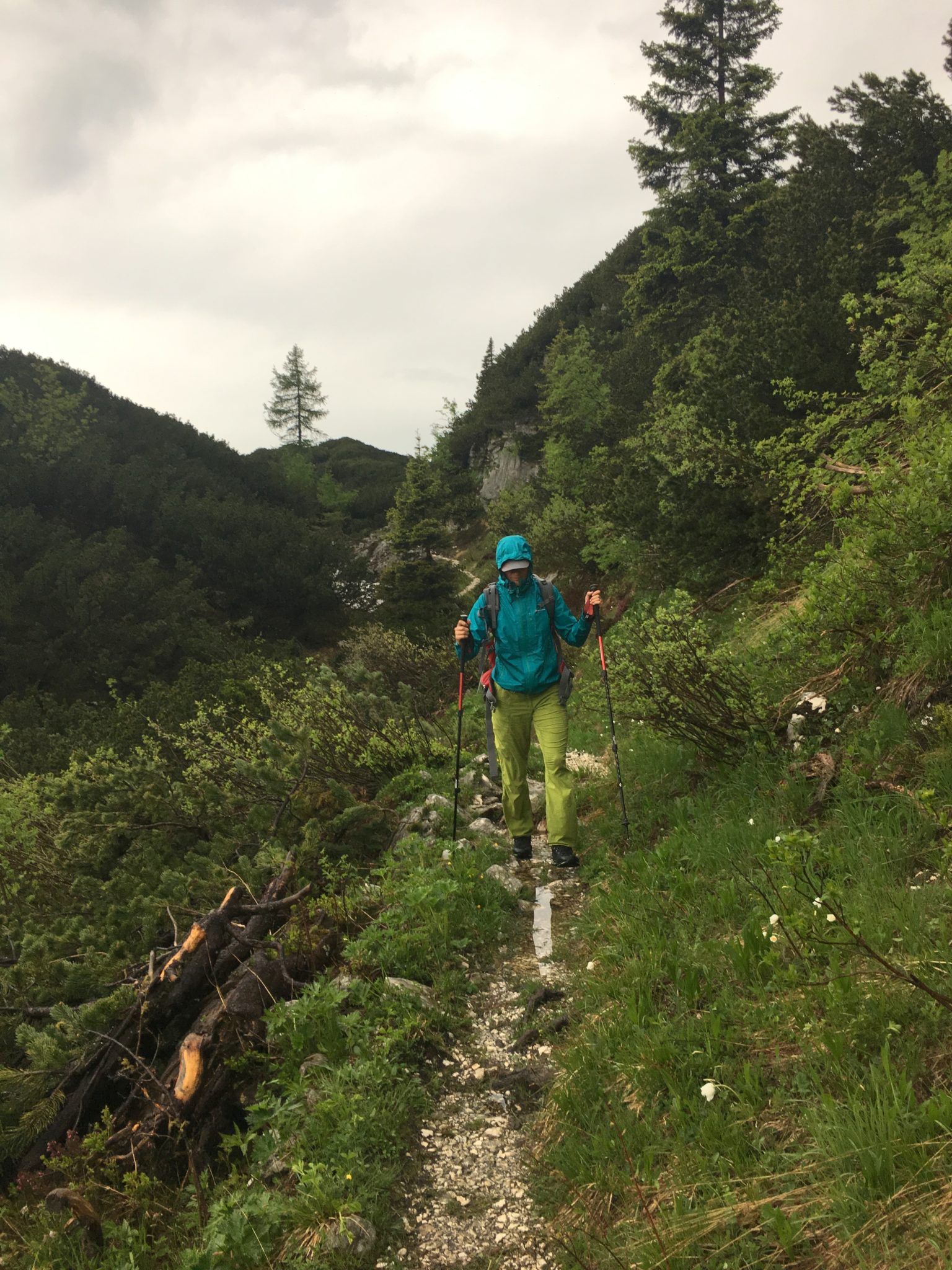
With altitude the trail from the Double Lake to Prehodavci gained more and more snow and the forecasted afternoon bad weather slowly started building in heavy black clouds. In fact, the weather above the tree line is predictably nasty and afternoon lightning and thunderstorms are the norm. By the time we reached the Big Lake, also called Lake Ledvica (Eng. Kidney) because of its shape, we were already facing a mostly cloudy sky and wind. However, we did stick to our original plan to hike all the way to Prehodavci since in the case of a thunderstorm we could always hide in the winter room in the otherwise still closed Zasavska Hut.
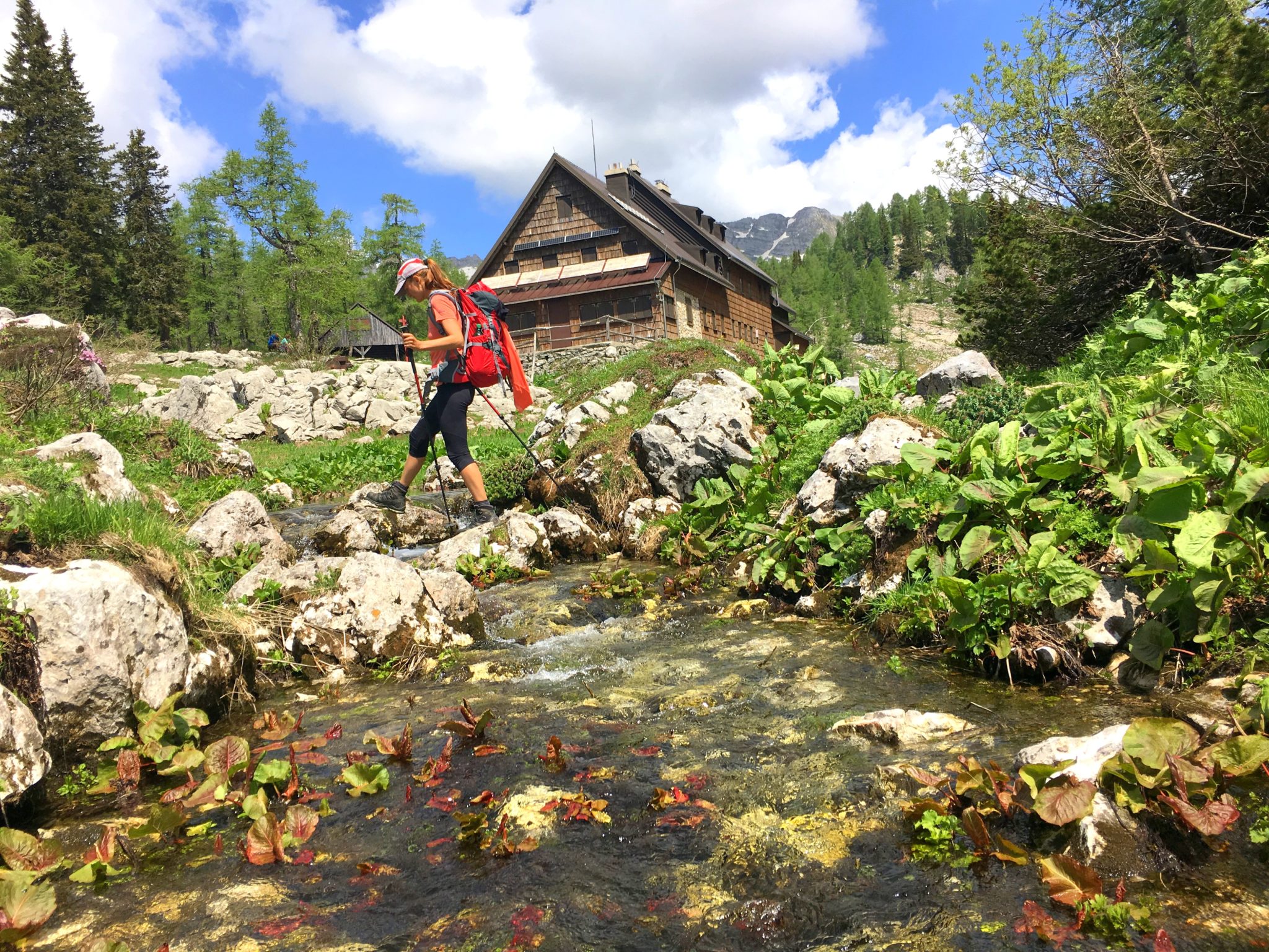
With the Zasavska Hut on Prehodavci within sight, it already started raining lightly. Since it would have taken us at least an hour to get to the hut and then back to the initial point, and since that side of the sky looked far scarier than where we had come from, we decided that the smartest thing to do right then was to run back down towards the Double Lake and leave the storm behind. We didn’t escape the rain though, and arrived there a bit wet.


We had just sat down on a bench in the sun in front of the hut by the Double Lake when we heard the first crack of thunder, forcing us to keep going forward towards the Komna Hut and push the pace even more. The thing is that the trail from the Double Lake to Komna is below the tree line and offers multiple wide and deep cracks in the walls next to the trail, which can serve as a temporary shelter. And so there we were, running away from the epicenter of the thunderstorm, which was moving quickly in the direction from Komna towards the Triglav Lakes Valley, but once a lightning hit somewhere close by and we found ourselves all of a sudden in the middle of a hailstorm, we hid in a small cave underneath a rock wall and waited for the worst to pass.


Exploring Slovenia’s Triglav Lakes treks:
Triglav Lakes – Double Lake
7 Triglav Lakes Trek
Stay tuned for more outdoor adventures! Join seventy thousand Exploring Slovenia fans by liking us on Facebook, Twitter, and Instagram. If you enjoyed this story, sign up for the monthly exploringslovenia.com/blog newsletter. A handful selection of stories from Hiking and Climbing in Slovenia, delivered to your inbox every month.
Looking for a gorgeous tour in the mountains? Exploring Slovenia offers guided hiking and climbing tours!


These are incredible photos! 🙂
Thanks Christine! ?